XXL Premium MAP United Kingdom Giant Poster - 2020 - Great Britain, England - MAPS IN MINUTES™
Product number: R830145
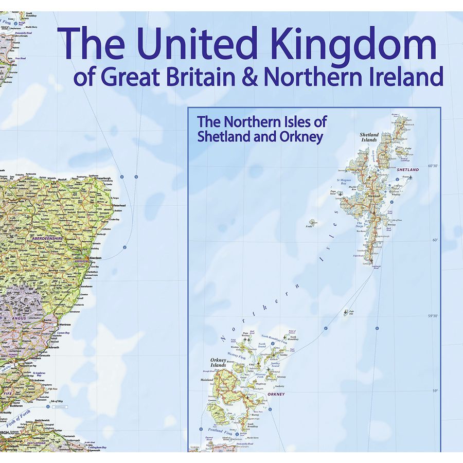


XXL Premium MAP United Kingdom Giant Poster - 2020 - Great Britain, England - MAPS IN MINUTES™
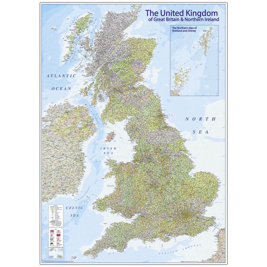
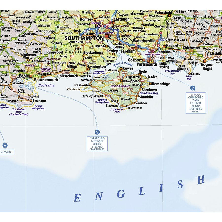
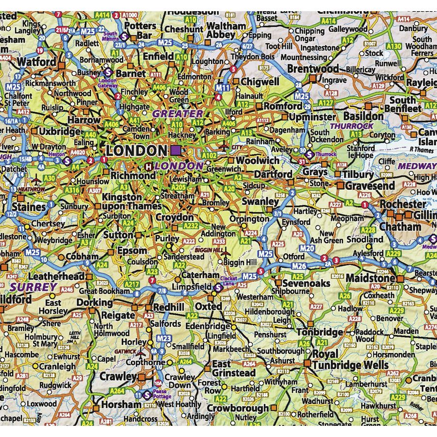
• Up-to-date & accurate 2020 highly detailed MAPS IN MINUTES™United Kingdom Political Road & Rail Map - 100% satisfaction guarantee• Top Quality Premium Poster (200g) printed in Germany & distributed by Close Up Posters, Professionals for over 25 years
• England, Wales, Scotland & Northern Ireland County colouring with Physical Hill Shading
• Motorways (including junction numbers and Services)
• Primary Routes/‘A’ Roads including Dual Carriageways, ‘B’ roads and comprehensive Road Numbering.
• Cities and Towns coloured by Population
• Rivers, Lakes/Lochs and names
• Mountain Ranges with Spot Heights (in metres)
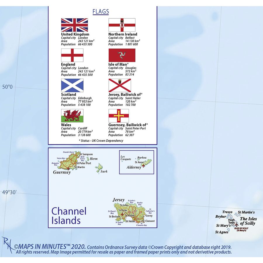
• Inset maps of Orkney and Shetland plus the Channel Isles
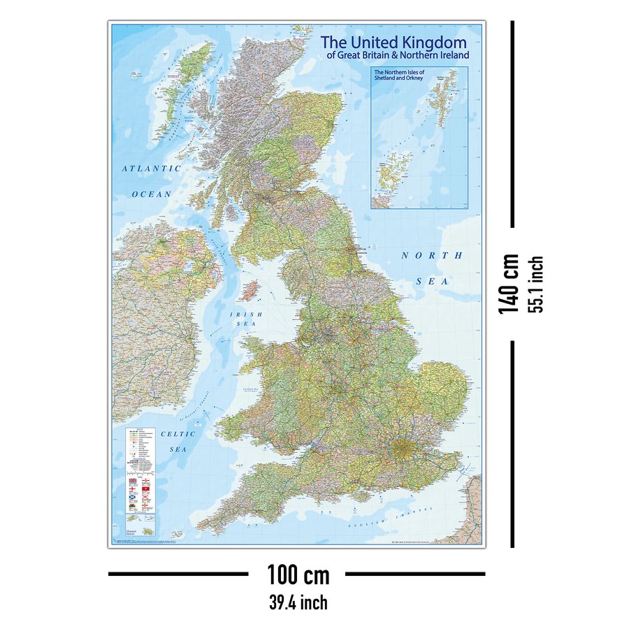
• Ferry Routes, Airports, Map Key and Scale plus Flags - XXL Dimensions - Size: 140 x 100 cm
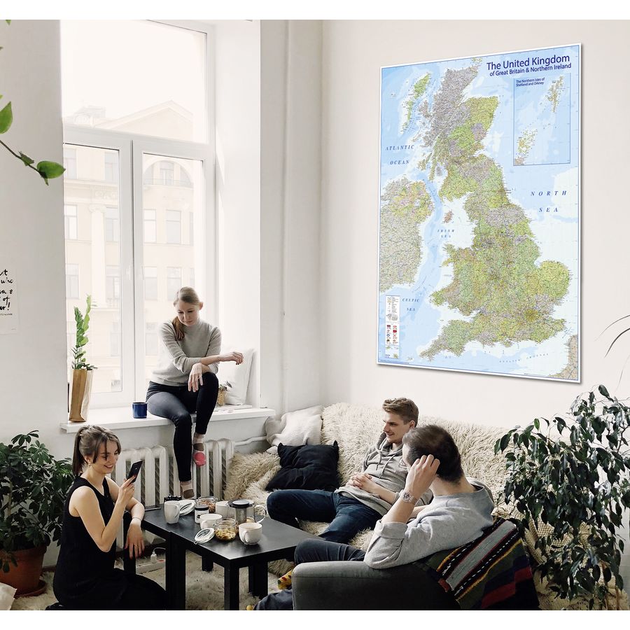
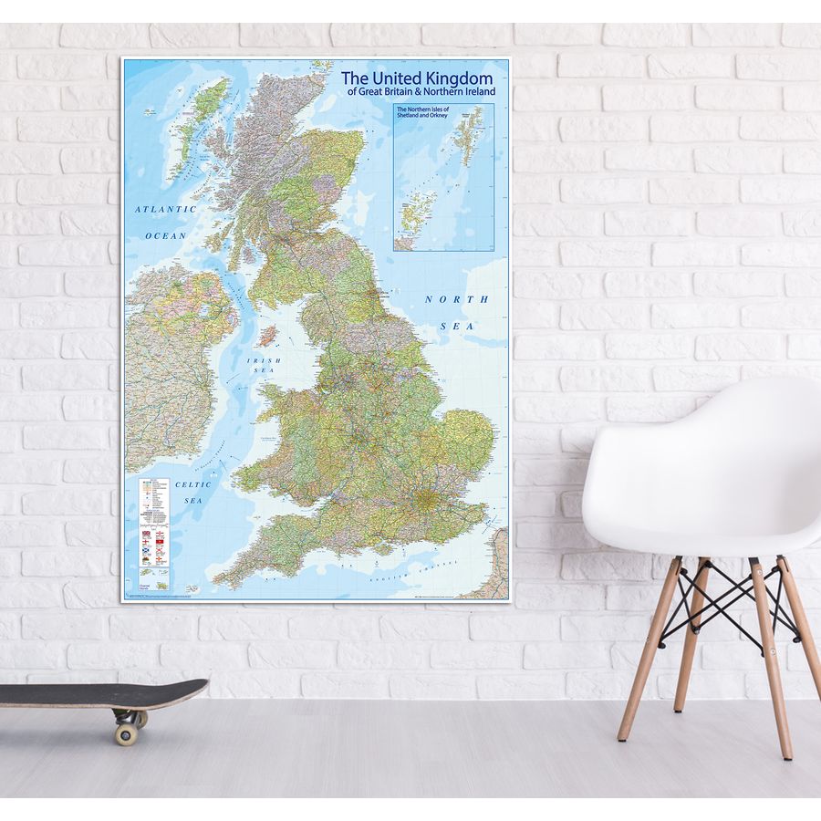
Outstanding wall poster ideal for office, home & education
Size: Width 100,0 cm Height 140,0 cm
Secure Payment

- Fast delivery
- Buyer protection
- Secure payment with
SSL encryption - Data protection
Shipping Carrier